

Getting around Mazatlán means choosing among local buses, taxis, aurigas, pulmonías and panoramic buses along the Malecón. From Hotel Playa Marina, you can plan for different travel times to the airport, city centre and a local landmark, then choose a transport option suited to your destination.
- Local buses connect beaches, Centro Histórico and major commercial areas.
- MuéveteMaz runs along the Malecón and connects with Avenida del Mar establishments and beach locations.
- Pulmonías are open-air vehicles; aurigas are larger vehicles that can be hired for trips around the city.
- The main bus station has a regional bus terminal beside it.
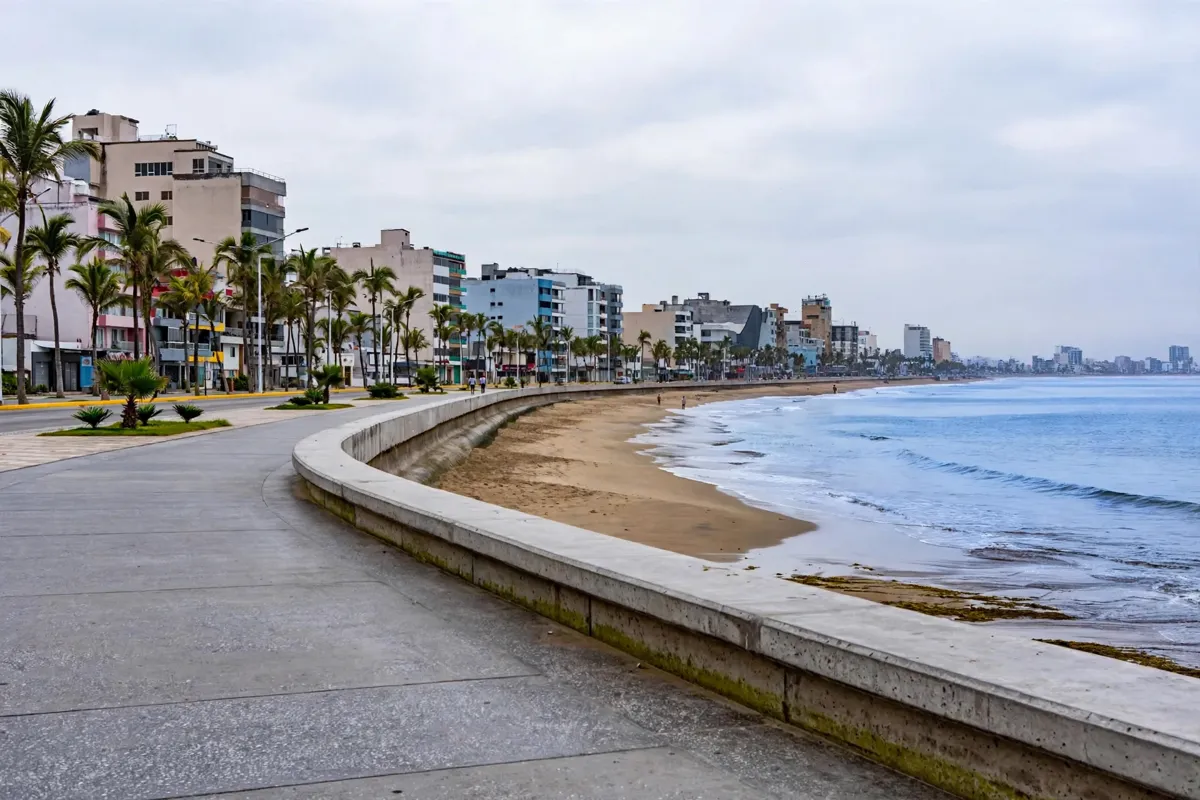
Orienting yourself around Mazatlán
Mazatlán’s main transport options connect the waterfront and beaches with Centro Histórico, commercial areas and regional bus services. The official tourism site identifies public transport, aurigas, local pulmonía taxis, ATAMSA and the central bus station as options.
For a panoramic ride along the waterfront, MuéveteMaz connects with establishments on Avenida del Mar and beach locations. You can board at the parking lot in front of Mazatlán Aquarium, between Avenida de los Deportes and Avenida Cruz Lizárraga.
The route takes approximately 40 minutes, with an approximately 20-minute wait between buses and each tour; check the official site before you go for current service details.
How do local buses and route information work?
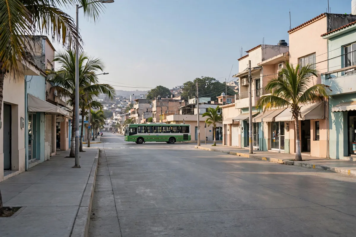
Local buses connect Mazatlán’s beaches, Centro Histórico and major commercial areas. The official tourism site also identifies routes or attractions named Cerritos, Sábalo, Gaviotas, Malecón 1, Malecón 2 and Centro, with Terminal CUM and Terminal Acuario among the transport points.
Route numbers and fares aren’t included in the tourism site’s local-bus information, so confirm the route and fare locally before boarding. For the named routes, service is labeled as free, with daily hours of 00:00–23:59; verify current details on the official tourism site.
What taxi and ride options are available?
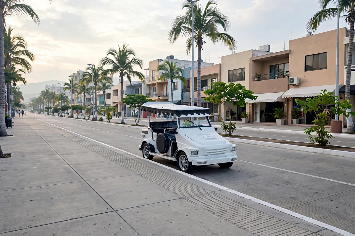
Mazatlán’s taxi choices include pulmonías, aurigas and taxis requested by phone or local apps. Pulmonías are open-air local transport used for trips along the Malecón, through Centro Histórico and to the main beaches. Aurigas are larger vehicles that can be hired for trips around Mazatlán, including for groups and families.
You can find taxis in major tourist areas or request one by telephone or through local apps. Uber also lets riders request a trip through its app or website, with ride requests available in Mazatlán around the clock.
Enter a destination in the app to see an estimated fare; displayed UberX sample prices are averages and can vary with location, traffic, promotions and other factors.
Where can you walk along the waterfront and city streets?
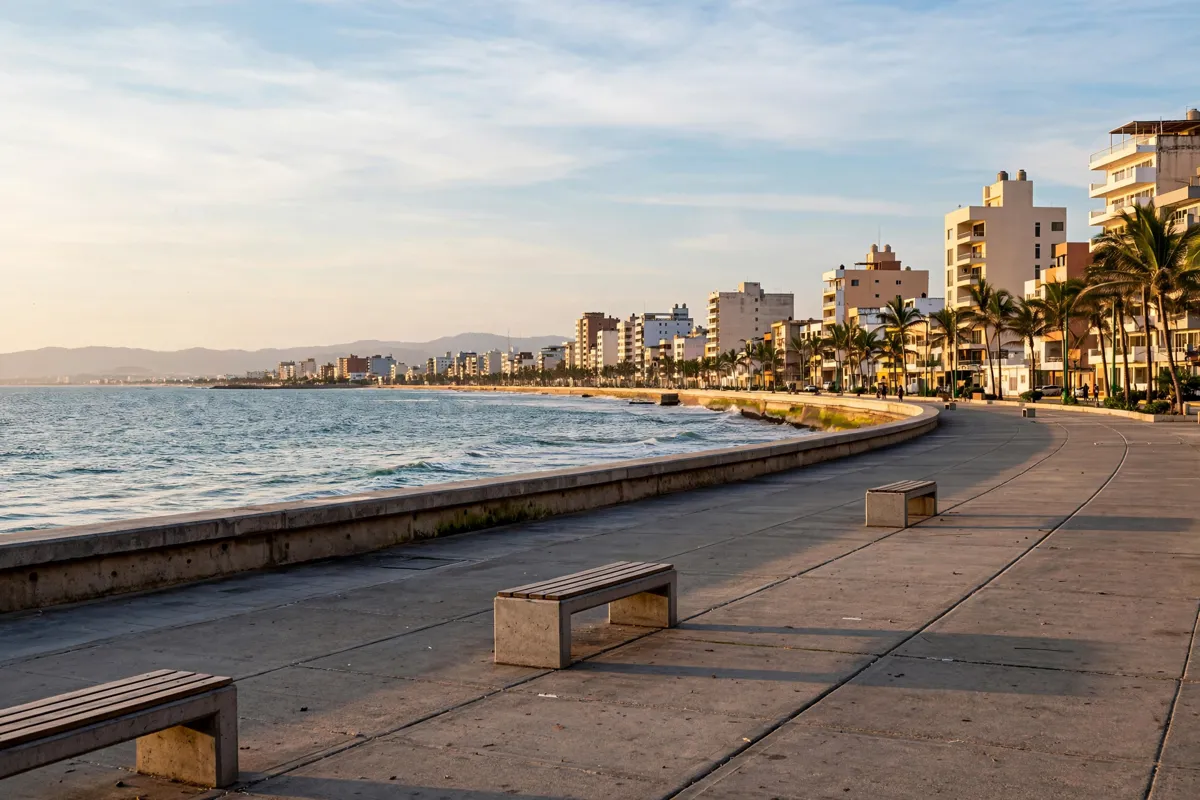
The Malecón is a waterfront route served by MuéveteMaz and pulmonías, making it a place where you can choose between a panoramic bus ride and open-air local transport. For beach access, the tourism site identifies local buses and MuéveteMaz as options connecting with beach areas. The guide to beaches in Mazatlán compares stretches of the coast.
How do you connect to Stone Island and farther destinations?
Regional buses leave from the Central de Autobuses, with a separate terminal for buses serving nearby communities and rural towns beside the main station. The municipal tourism site gives the Central de Autobuses address as Río Presidio s/n, Central Camionera, Palos Prietos, 82010 Mazatlán, Sinaloa.
Regional operators include Autotransportes Unidos de Sinaloa, serving Culiacán, Mazatlán, Rosario and Escuinapa, and allABORDO, with service to Culiacán, Guasave and Los Mochis. A day trip to Stone Island is another excursion from Mazatlán.
Choosing transport for your plans
From Playa Marina, the city centre is about 43 minutes on foot or 10 minutes by car, and Estadio Teodoro Mariscal is about 20 minutes on foot or 6 minutes by car. General Rafael Buelna International Airport is about 39 minutes by car from Playa Marina, a two-star hotel.
Those travel times give you a starting point for planning from the hotel area. For local trips, choose among the bus, taxi and panoramic options according to the places you plan to reach.
For the airport journey, the guide to getting from General Rafael Buelna Airport to Hotel Playa Marina covers that connection.
FAQs
Which transport connects Mazatlán’s beaches with Centro Histórico?
Local buses connect beaches and Centro Histórico, as well as major commercial areas. Pulmonías also serve the main beaches and Centro Histórico.
Where can you board MuéveteMaz?
Board at the parking lot in front of Mazatlán Aquarium, between Avenida de los Deportes and Avenida Cruz Lizárraga.
Can you request a ride through an app in Mazatlán?
Yes. The tourism site says taxis can be requested through local apps, and Uber accepts ride requests through its app or website.